Fil:Çorum districts.png

Opphavleg fil (1 056 × 816 pikslar, filstorleik: 36 KB, MIME-type: image/png)
Følgjande er henta frå filomtalen åt denne fila på Wikimedia Commons:
Skildring
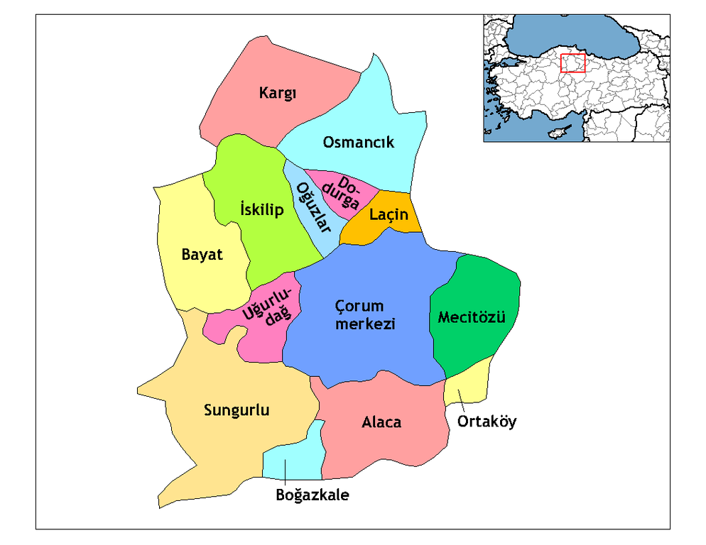
Description=Map of the districts of Çorum province in Turkey. Source= Image:Çorum__districts.png Author= User:Rarelibra,1 December 2006 (UTC) for public domain use, using MapInfo Professional v8.5 and various mapping resources. Edited by One Homo Sapiens Corrected text where İ,Ş,ı,ğ,or ş occurs in name. Source: [statoids-com]. Increased font size and enhanced color differences among adjacent districts. , reload by User:Mustafa_Akalp to match the Province name in en:wiki.
| Eg, opphavsrettshaldaren til dette verket, frigjev dette verket til ålmenta. Dette gjeld over heile verda. I somme landa er dette kan henda ikkje rettsleg mogeleg. I det fall: Eg gjev kven som helst rettane til å nytta dette verket for kva som helst føremål og utan vilkår, minder vilkår er kravde etter lova. |
Lisensiering:

|
Det er tillate å kopiera, distribuera og/eller modifisera dette dokumentet under retningslinene som er skildra i GNU fri dokumentasjonslisens, versjon 1.2 eller seinare utgåve utgjeven av Free Software Foundation; med alle seksjonane, utan nokon framsidetekstar og baksidetekstar. Ein kopi av lisensen er inkludert i avsnittet GNU Free Documentation License. |
| Denne fila er lisensiert under lisensen Creative Commons Namngjeving-DelPåSameVilkåra 3.0 Unported | ||
| ||
| Dette lisensieringsmerket vart lagt til denne fila som ein del av GFDL-lisensieringsoppdateringa. |
Filhistorikk
Klikk på dato/klokkeslett for å sjå fila slik ho var på det tidspunktet.
| Dato/klokkeslett | Miniatyrbilete | Oppløysing | Brukar | Kommentar | |
|---|---|---|---|---|---|
| gjeldande | 29. desember 2008 kl. 06:24 | | 1 056 × 816 (36 KB) | One Homo Sapiens | Corrected text where İ,Ş,ı,ğ,or ş occurs in name. Source: [statoids-com]. Increased font size and enhanced color differences among adjacent districts. |
| 2. februar 2007 kl. 07:38 |  | 1 056 × 816 (45 KB) | Makalp | Description=Map of the districts of Çorum province in Turkey. Source= Image:Çorum__districts.png Author= User:Rarelibra,1 December 2006 (UTC) for public domain use, using MapInfo Professional v8.5 and various mapping resources. , reloa |
Filbruk
Den følgjande sida bruker denne fila:
Global filbruk
Desse andre wikiane nyttar fila:
- Bruk på arz.wikipedia.org
- Bruk på ast.wikipedia.org
- Bruk på ca.wikipedia.org
- Bruk på ce.wikipedia.org
- Bruk på cs.wikipedia.org
- Bruk på de.wikipedia.org
- Bruk på de.wikivoyage.org
- Bruk på diq.wikipedia.org
- Bruk på en.wikipedia.org
- Çorum Province
- User talk:Rarelibra/Maps4
- Districts of Turkey
- Governor of Çorum
- List of populated places in Çorum Province
- Ortaköy District, Çorum
- Uğurludağ District
- Alaca District
- Çorum District
- Bayat District, Çorum
- Boğazkale District
- Dodurga District
- İskilip District
- Kargı District
- Laçin District
- Mecitözü District
- Oğuzlar District
- Osmancık District
- Sungurlu District
- Bruk på en.wiktionary.org
- Bruk på eo.wikipedia.org
- Bruk på es.wikipedia.org
Sjå meir global bruk av denne fila.