Fil:San Jose Skyline Silicon Valley.jpg
Opphavleg fil (2 496 × 1 664 pikslar, filstorleik: 1,44 MB, MIME-type: image/jpeg)
Følgjande er henta frå filomtalen åt denne fila på Wikimedia Commons:
| Skildring |
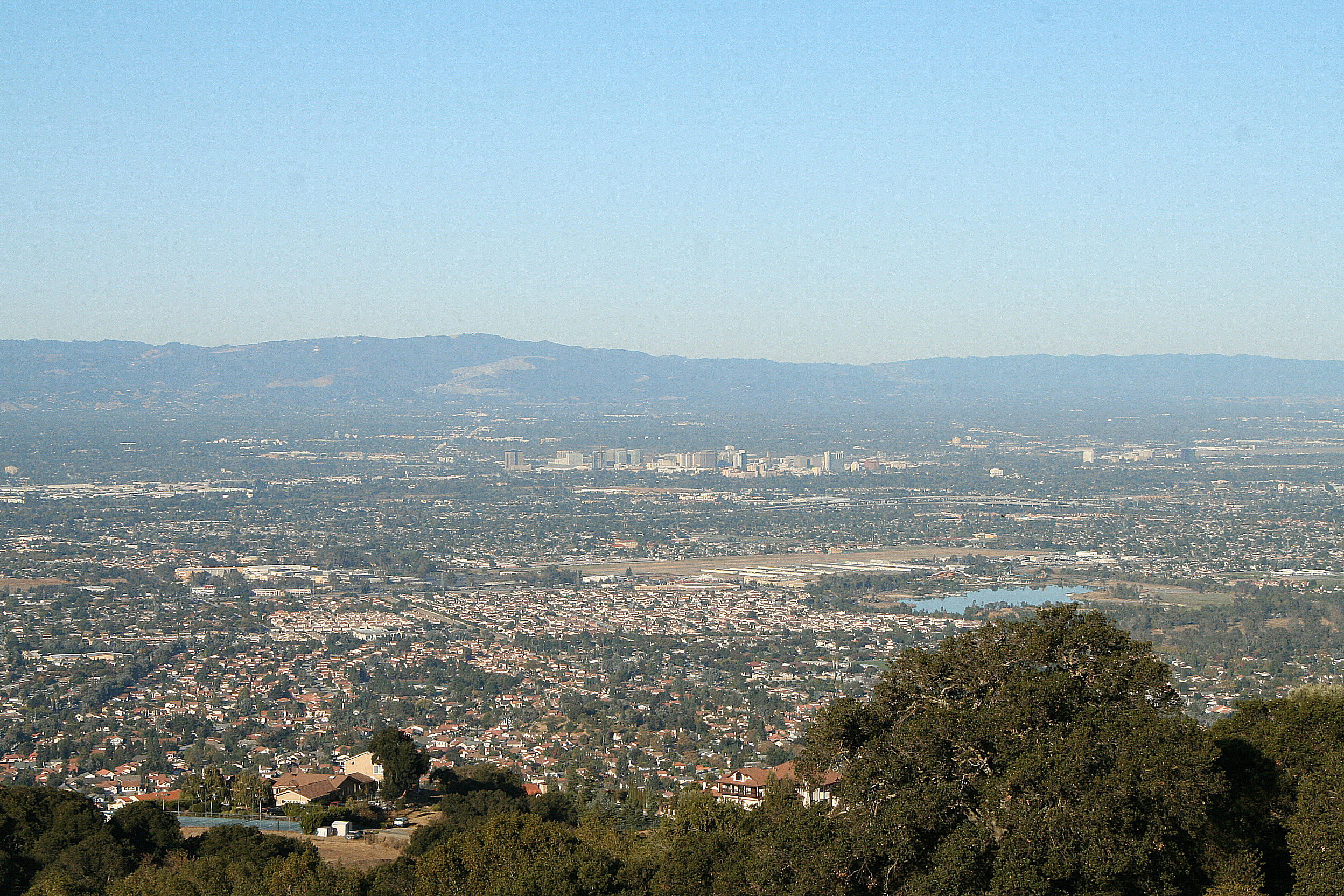
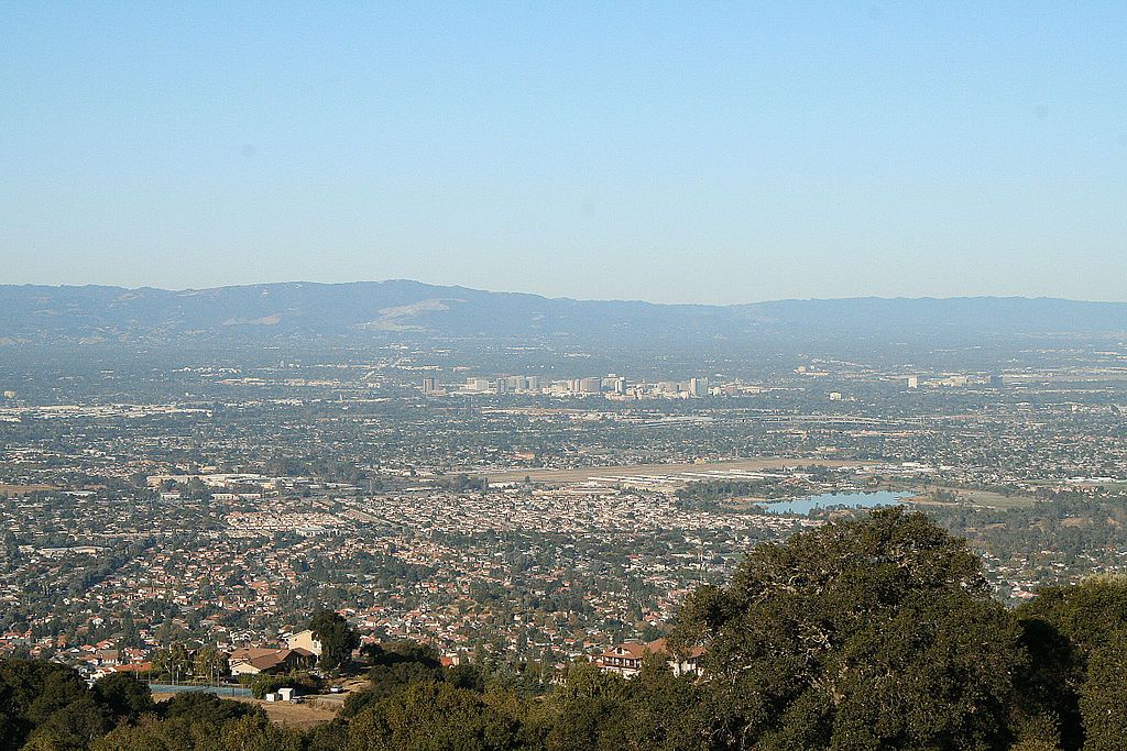
Santa Clara Valley "The Valley of Heart's Delight". Looking west across the valley from Quimby Road, Lake Cunningham Park is in the right foreground, with Reid-Hillview Airport at low center and the high-rise buildings in downtown San Jose beyond. The Santa Clara Valley is a valley just south of the San Francisco Bay in Northern California in the United States. Much of Santa Clara County, California and its county seat San Jose, are in the Santa Clara Valley. The valley was originally known as the Valley of Heart’s Delight for the miles and miles of orchards. Once primarily agricultural because of its highly fertile soil, it is now largely urbanized, although its far southern reaches south of Gilroy remain rural. Silicon Valley is roughly coterminous with the Santa Clara Valley, although since the former is as much a state of mind as an actual location, people often refer to parts of the San Francisco Peninsula as being part of Silicon Valley as well. Locally, the Santa Clara Valley is also referred to as the "South Bay." However, the Santa Clara Valley American Viticultural Area remains important. The northern end of the Santa Clara Valley is at the southern tip of the San Francisco Bay, and the southern end is in the vicinity of Gilroy. The valley is bounded by the Santa Cruz Mountains on the southwest and by the Diablo Range on the northeast. It is about 30 miles (50 km) long and about 15 miles (20 km) wide. The valley's largest city, by an 86.7% margin, is San Jose. Taken with Canon XT (350D) |
| Dato | |
| Kjelde | Santa Clara Valley - California |
| Opphavsperson | Michael from San Jose, California, USA |
| Andre versjonar |
|

| Kameraposisjon | | Dette og andre bilete på denne posisjonen i: OpenStreetMap |
|---|
Lisensiering:
- Du står fritt til å:
- til å dela – til å kopiera, distibuera og overføra arbeidet
- til å blanda – til å endra verket
- På desse vilkåra:
- namngjeving – Du lyt godskriva verket på den måten som opphavpersonen eller lisensgjevaren har oppgjeve (men ikkje på ein slik måte at det kan verka som om dei går god for deg eller måten du nyttar verket på).
| This image, originally posted to Flickr, was reviewed on 19 July 2009 by the administrator or reviewer Abigor, who confirmed that it was available on Flickr under the stated license on that date. |
Filhistorikk
Klikk på dato/klokkeslett for å sjå fila slik ho var på det tidspunktet.
| Dato/klokkeslett | Miniatyrbilete | Oppløysing | Brukar | Kommentar | |
|---|---|---|---|---|---|
| gjeldande | 18. juli 2009 kl. 02:51 | | 2 496 × 1 664 (1,44 MB) | Sanjosecalifornia | {{Information |Description= Santa Clara Valley "The Valley of Heart's Delight" The Santa Clara Valley is a valley just south of the San Francisco Bay in Northern California in the United States. Much of Santa Clara County, California and its county sea |
Filbruk
Den følgjande sida bruker denne fila:
Global filbruk
Desse andre wikiane nyttar fila:
- Bruk på en.wikipedia.org
- Bruk på it.wikipedia.org