Fil:West Dunbartonshire council.PNG
Storleik på førehandsvising: 480 × 599 pikslar. Andre oppløysingar: 192 × 240 pikslar | 384 × 480 pikslar | 615 × 768 pikslar | 820 × 1 024 pikslar | 1 641 × 2 048 pikslar | 2 733 × 3 411 pikslar.
Opphavleg fil (2 733 × 3 411 pikslar, filstorleik: 208 KB, MIME-type: image/png)
Følgjande er henta frå filomtalen åt denne fila på Wikimedia Commons:
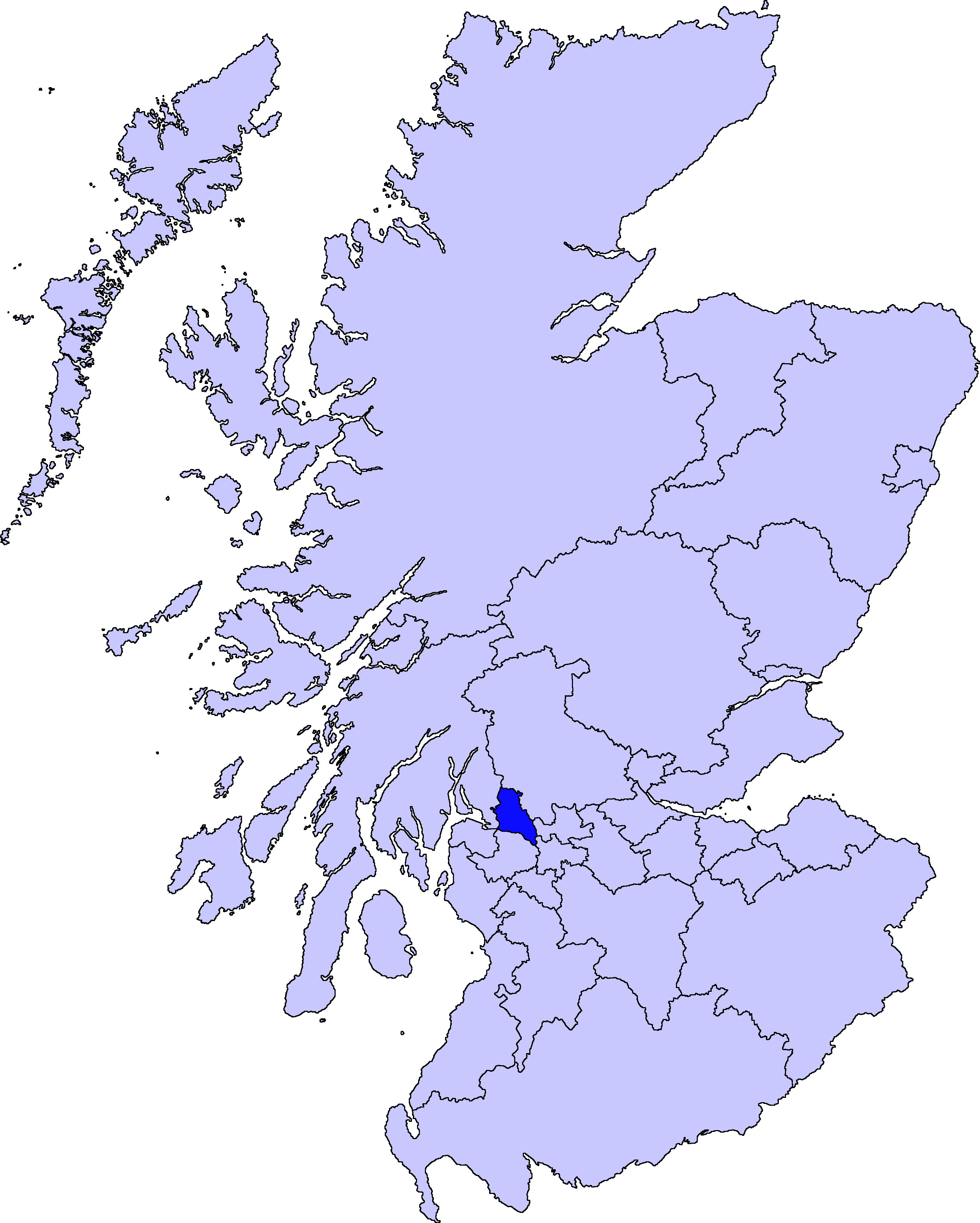
| Skildring | map of West Dunbartonshire | ||||||||
| Dato | |||||||||
| Kjelde |
Barryob, opphavspersonen til dette verket, har publisert eller publiserer det hermed under følgjande lisens:
|
||||||||
| Opphavsperson | User:Barryob |

Filhistorikk
Klikk på dato/klokkeslett for å sjå fila slik ho var på det tidspunktet.
| Dato/klokkeslett | Miniatyrbilete | Oppløysing | Brukar | Kommentar | |
|---|---|---|---|---|---|
| gjeldande | 10. april 2007 kl. 07:06 | | 2 733 × 3 411 (208 KB) | Barryob | |
| 8. april 2007 kl. 23:56 |  | 2 733 × 3 411 (209 KB) | Barryob | ||
| 4. april 2007 kl. 03:17 |  | 2 733 × 3 411 (208 KB) | Barryob | {{Information |Description=map of West Dunbartonshire |Source={{GFDL-user|Barryob}} |Date=2006-04-04 |Author=User:Barryob |Permission= |other_versions= }} Category:Maps of unitary councils of Scotland |
Filbruk
Den følgjande sida bruker denne fila:
Global filbruk
Desse andre wikiane nyttar fila:
- Bruk på be.wikipedia.org
- Bruk på ca.wikipedia.org
- Bruk på cy.wikipedia.org
- Bruk på en.wikipedia.org
- Bruk på eu.wikipedia.org
- Mendebaldeko Dunbartonshire
- Dumbarton
- Lankide:Euskaldunaa
- Clydebank
- Txantiloi:Mendebaldeko Dunbartonshire
- Wikiproiektu:Irlanda, Gales eta Eskoziako udalerriak
- Alexandria (Mendebaldeko Dunbartonshire)
- Balloch (Mendebaldeko Dunbartonshire)
- Bonhill
- Bowling (Mendebaldeko Dunbartonshire)
- Dalmuir
- Duntocher
- Gartocharn
- Hardgate
- Jamestown (Mendebaldeko Dunbartonshire)
- Milton (Mendebaldeko Dunbartonshire)
- Old Kilpatrick
- Renton (Mendebaldeko Dunbartonshire)
- Faifley
- Drumry
- Whitecrook
- Bruk på gd.wikipedia.org
- Bruk på ja.wikipedia.org
- Bruk på nl.wikipedia.org
- Bruk på pt.wikipedia.org
- Bruk på zh.wikipedia.org