Fil:Black Hill (Peak District).jpg

Storleik på førehandsvising: 800 × 600 pikslar. Andre oppløysingar: 320 × 240 pikslar | 640 × 480 pikslar | 1 024 × 768 pikslar | 1 280 × 960 pikslar | 2 048 × 1 536 pikslar.
Opphavleg fil (2 048 × 1 536 pikslar, filstorleik: 1,16 MB, MIME-type: image/jpeg)

Følgjande er henta frå filomtalen åt denne fila på Wikimedia Commons:
Filhistorikk
Klikk på dato/klokkeslett for å sjå fila slik ho var på det tidspunktet.
| Dato/klokkeslett | Miniatyrbilete | Oppløysing | Brukar | Kommentar | |
|---|---|---|---|---|---|
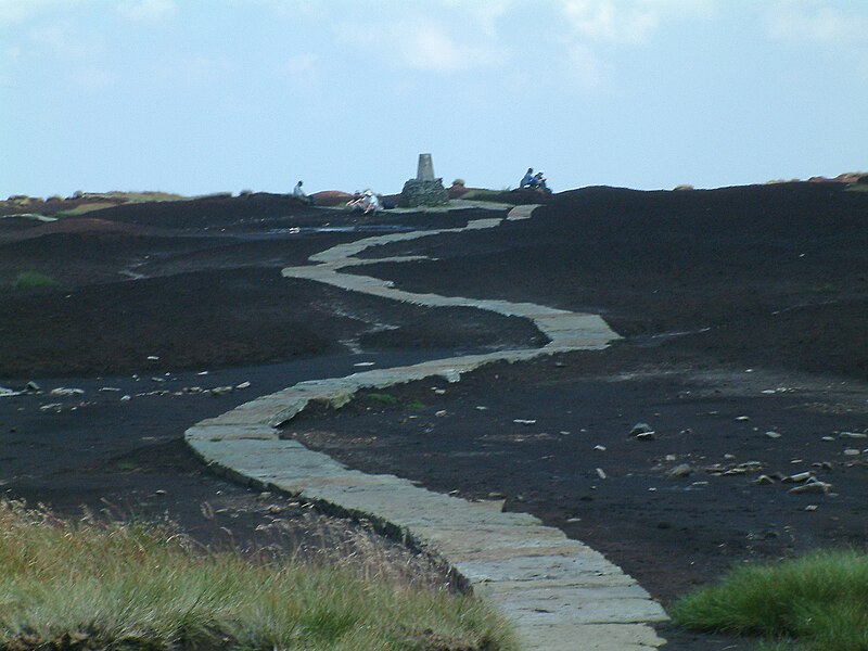
| gjeldande | 2. september 2007 kl. 00:31 |  | 2 048 × 1 536 (1,16 MB) | Responsible? | {{Information |Description=The Pennine Way on the summit of Black Hill (Peak District). The triangulation column and highest point on Black Hill is on a small elevated mound, called Soldiers' Lump. According to Alfred Wainwright's ''Pennine Way Companion' |
Filbruk
Den følgjande sida bruker denne fila:
Global filbruk
Desse andre wikiane nyttar fila:
- Bruk på arz.wikipedia.org
- Bruk på ceb.wikipedia.org
- Bruk på da.wikipedia.org
- Bruk på de.wiktionary.org
- Bruk på en.wikipedia.org
- Bruk på en.wikivoyage.org
- Bruk på fr.wikipedia.org
- Bruk på sv.wikipedia.org
- Bruk på www.wikidata.org