Fil:Crookston Minnesota aerial view.jpg
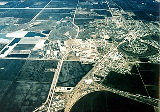
Storleik på førehandsvising: 800 × 562 pikslar. Andre oppløysingar: 320 × 225 pikslar | 640 × 449 pikslar | 1 024 × 719 pikslar | 1 280 × 899 pikslar | 1 500 × 1 053 pikslar.
Opphavleg fil (1 500 × 1 053 pikslar, filstorleik: 820 KB, MIME-type: image/jpeg)
Følgjande er henta frå filomtalen åt denne fila på Wikimedia Commons:
| Skildring |
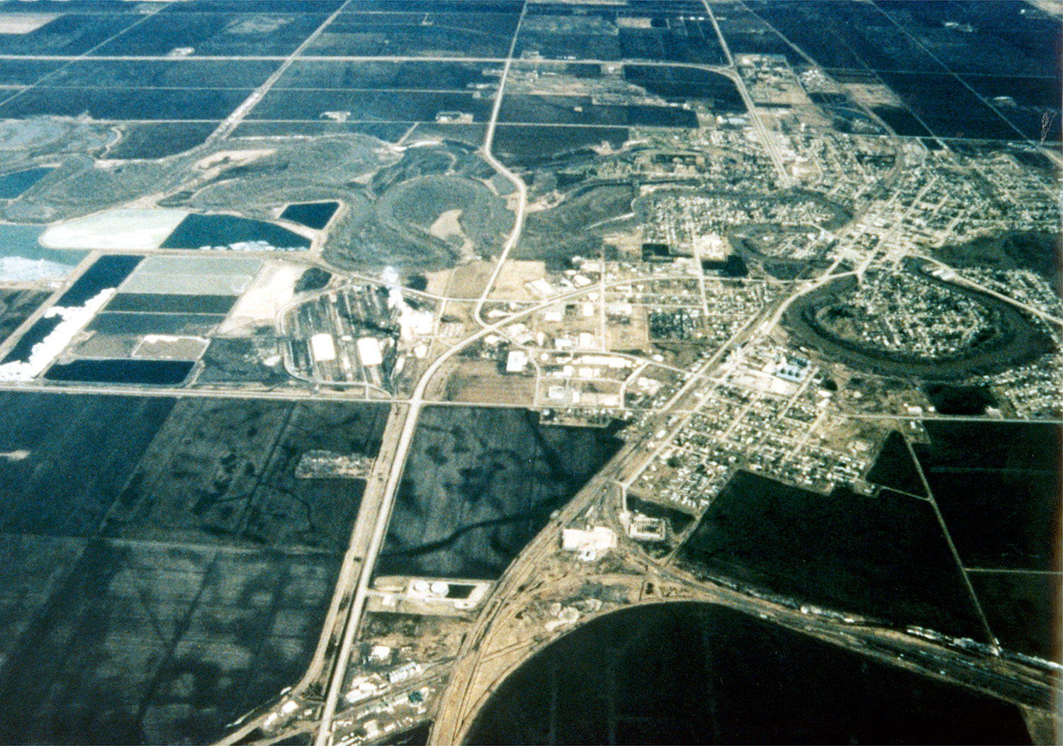
English: Aerial view of Crookston, Minnesota, USA. The Red Lake River twists and turns on its way through the city. The Red Lake River runs west-northwest to join the Red River about 22 miles (straight line) west of Crookston at Grand Forks, North Dakota (hence the name Grand Forks). |
|||
| Dato | ||||
| Kjelde |
U.S. Army Corps of Engineers Digital Visual Library Image page Image description page Digital Visual Library home page |
|||
| Opphavsperson | Tom Crump, U.S. Army Corps of Engineers | |||
| Løyve (Gjenbruk av denne fila) |
|
|||
| Stad | Crookston, Minnesota, USA |
| Kameraposisjon | | Dette og andre bilete på denne posisjonen i: OpenStreetMap |
|---|
Filhistorikk
Klikk på dato/klokkeslett for å sjå fila slik ho var på det tidspunktet.
| Dato/klokkeslett | Miniatyrbilete | Oppløysing | Brukar | Kommentar | |
|---|---|---|---|---|---|
| gjeldande | 7. april 2007 kl. 05:47 | | 1 500 × 1 053 (820 KB) | DanMS | {{Information | Description = {{en|Aerial view of Crookston, Minnesota, USA. The Red Lake River twists and turns on its way through the city. The Red Lake River runs west-northwest to join the Red River about 22 miles (straight line) west of Crookston |
Filbruk
Den følgjande sida bruker denne fila:
Global filbruk
Desse andre wikiane nyttar fila:
- Bruk på de.wikipedia.org
- Bruk på en.wikipedia.org
- Bruk på he.wikipedia.org
- Bruk på it.wikipedia.org
- Bruk på pl.wikipedia.org