Fil:Derbyshire UK location map.svg

Storleik på denne PNG-førehandsvisinga av denne SVG-fila: 406 × 599 pikslar. Andre oppløysingar: 162 × 240 pikslar | 325 × 480 pikslar | 520 × 768 pikslar | 693 × 1 024 pikslar | 1 387 × 2 048 pikslar | 884 × 1 305 pikslar.
Opphavleg fil (SVG-fil, standardoppløysing: 884 × 1 305 pikslar, filstorleik: 2,38 MB)
Følgjande er henta frå filomtalen åt denne fila på Wikimedia Commons:
| Skildring |
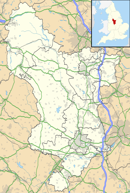
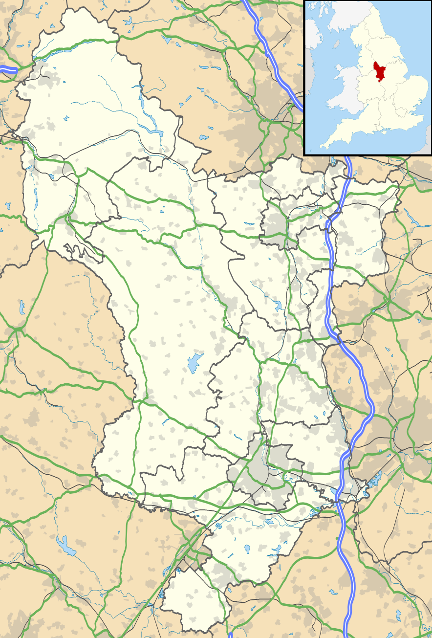
Map of Derbyshire, UK with the following information shown:
Equirectangular map projection on WGS 84 datum, with N/S stretched 165% Geographic limits:
|
| Dato | |
| Kjelde |
|
| Opphavsperson | Nilfanion, created using Ordnance Survey data |
| Løyve (Gjenbruk av denne fila) |
Denne fila er lisensiert under lisensen Creative Commons Namngjeving-DelPåSameVilkåra 3.0 Unported Namngjeving: Contains Ordnance Survey data © Crown copyright and database right
|
| Andre versjonar | File:Devon UK district map (blank).svg - Blank map |
.svg)
Filhistorikk
Klikk på dato/klokkeslett for å sjå fila slik ho var på det tidspunktet.
| Dato/klokkeslett | Miniatyrbilete | Oppløysing | Brukar | Kommentar | |
|---|---|---|---|---|---|
| gjeldande | 26. september 2010 kl. 20:46 | | 884 × 1 305 (2,38 MB) | Nilfanion | {{Information |Description=Map of Derbyshire, UK with the following information shown: *Administrative borders *Coastline, lakes and rivers *Roads and railways *Urban areas Equirectangular map projection on WGS 84 datum, with N/S stretch |
Filbruk
Den følgjande sida bruker denne fila:
Global filbruk
Desse andre wikiane nyttar fila:
- Bruk på ar.wikipedia.org
- Bruk på bg.wikipedia.org
- Bruk på ca.wikipedia.org
- Bruk på ceb.wikipedia.org
- Bruk på cs.wikipedia.org
- Bruk på cy.wikipedia.org
- Bruk på el.wikipedia.org
- Bruk på en.wikipedia.org
- Derbyshire
- Chatsworth House
- Kedleston Hall
- Staveley, Derbyshire
- Glossop
- Buxton
- Calke Abbey
- Sudbury Hall
- Bolsover Castle
- Chesterfield, Derbyshire
- Thornhill, Derbyshire
- Newhaven, Derbyshire
- Gamesley
- Bretby Hall
- Birchinlee
- Ripley, Derbyshire
- Repton
- Eyam
- Edale
- Castleton, Derbyshire
- Hope, Derbyshire
- Hathersage
- Spondon
- Matlock, Derbyshire
- Matlock Bath
- Bolsover
- Ashbourne, Derbyshire
- Alfreton
- Heanor
- Pleasley
- Wirksworth
- Leam, Derbyshire
- Ilkeston
- Heage
- New Mills
- Long Eaton
- Littleover
- Mickleover
- Dronfield
- Tideswell
- Hartington, Derbyshire
Sjå meir global bruk av denne fila.