Fil:Marlborough nz location.png
Høgare oppløysing er ikkje tilgjengeleg.
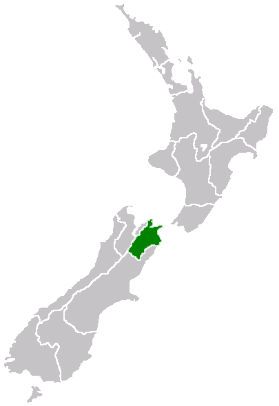
Marlborough_nz_location.png (405 × 590 pikslar, filstorleik: 7 KB, MIME-type: image/png)
Følgjande er henta frå filomtalen åt denne fila på Wikimedia Commons:
Region of New Zealand, position on the map
| |
Dette verket er vorte frigjeve til ålmenta av opphavspersonen, Furius på Wikimedia Commons. Dette gjeld over heile verda. I tilfeller hvor dette ikke er juridisk mulig: |
Filhistorikk
Klikk på dato/klokkeslett for å sjå fila slik ho var på det tidspunktet.
| Dato/klokkeslett | Miniatyrbilete | Oppløysing | Brukar | Kommentar | |
|---|---|---|---|---|---|
| gjeldande | 27. april 2005 kl. 09:40 | | 405 × 590 (7 KB) | Domie~commonswiki | Region of New Zealand, position on the map {{PD}} Category:Maps of New Zealand |
Filbruk
Den følgjande sida bruker denne fila:
Global filbruk
Desse andre wikiane nyttar fila:
- Bruk på en.wikipedia.org
- Port Gore
- Kenepuru Sound
- Cape Campbell
- Tapuae-o-Uenuku
- Long Island (Marlborough)
- RNZAF Base Woodbourne
- Fairy Bay
- Tawero Point
- Allports Island
- Amerikiwhati Island
- Anatakupu Island
- Wharanui
- Template:Marlborough-geo-stub
- Moenui
- Cape Jackson, New Zealand
- Penzance Bay
- Maungatapu
- Koromiko, New Zealand
- West Head
- Blumine Island
- Wards Pass
- Rangitoto Islands
- Chetwode Islands
- Marlborough Sounds Important Bird Areas
- Forsyth Island (New Zealand)
- Dillon Cone
- Whangamoa Saddle
- Bryant Range
- Burleigh, New Zealand
- Croisilles Harbour
- Kaikoura County
- Marlborough County
- Bottle Rock
- Budges Island
- Bruk på fi.wikipedia.org
- Bruk på gd.wikipedia.org
- Bruk på hi.wikipedia.org
- Bruk på ja.wikipedia.org
- Bruk på ko.wikipedia.org
- Bruk på ms.wikipedia.org
- Bruk på pl.wikipedia.org
- Bruk på ru.wikipedia.org
- Bruk på sh.wikipedia.org
- Bruk på simple.wikipedia.org
- Bruk på sv.wikipedia.org
- Bruk på uk.wikipedia.org
- Bruk på ur.wikipedia.org
- Bruk på www.wikidata.org
- Bruk på zh-min-nan.wikipedia.org
Sjå meir global bruk av denne fila.