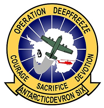
VXE-6
Antarctic Development Squadron Six (VXE-6 eller ANTARCTIC DEVRON SIX, med kallenamnet The Puckered Penguins eller Dei rynkete pingvinane) var ein flyskvadron i United States Navy basert ved McMurdo-stasjonen i Antarktis. Han vart oppretta ved Naval Air Station Quonset Point i Rhode Island den 1. januar 1969, og oppdraget var å gje utføre luftstøtte under Operasjon Deep Freeze, den operasjonelle delen av United States Antarctic Program. Med halenummeret JD flaug skvadronen mange fly medan han eksisterte. Etter at sommaroperasjonane ved Amundsen–Scott-stasjonen vart lagt ned i februar 1999 vendte skvadronen attende til Naval Air Station Point Mugu i California, der han vart oppløyst den 31. mars 1999.
| Antarctic Development Squadron Six | |||
 | |||
| Land | |||
|---|---|---|---|
| Aktiv | 1. januar 1969 – 31. mars 1999 | ||
| Grein | United States Navy | ||
| Type | Test og evaluering | ||
| Rolle | logistisk støtte | ||
| Del av | Naval Air Systems Command | ||
| Garnison/HK | Naval Air Station Quonset Point | ||
| Motto | «Courage, Sacrifice, Devotion» | ||
| Kallenamn | «The Puckered Penguins» | ||
| Fargar | Halenummer JD (1969–1999) | ||
| Kommandørar | Øvstkommanderande CDR Eugene W. Van Reeth, 1969[1] CDR Claude H. Nordhill, 1972[2] | ||
| Luftfartøy nytta | Rekogniseringsfly: P2V-2 Neptune, DHC-3 Otter Transportfly: R4D Dakota, R5D Skymaster, LC-130 Hercules | ||
References
endre- ↑ «Van Reeth Glacier». Geographic Names Information System. United States Geological Survey, United States Department of the Interior. Henta 14. mars 2013.
- ↑ «Mount Nordhill». Geographic Names Information System. United States Geological Survey, United States Department of the Interior. Henta 14. mars 2013.
- ↑ «Peters Bastion». Geographic Names Information System. United States Geological Survey, United States Department of the Interior. Henta 14. mars 2013.
- ↑ «Mount Holt». Geographic Names Information System. United States Geological Survey, United States Department of the Interior. Henta 14. mars 2013.
- ↑ «Desko Mountains». Geographic Names Information System. United States Geological Survey, United States Department of the Interior. Henta 14. mars 2013.
- ↑ «Morgan Peak». Geographic Names Information System. United States Geological Survey, United States Department of the Interior. Henta 14. mars 2013.
- ↑ «Pesce Peninsula». Geographic Names Information System. United States Geological Survey, United States Department of the Interior. Henta 14. mars 2013.
- ↑ «Dykeman Point». Geographic Names Information System. United States Geological Survey, United States Department of the Interior. Henta 14. mars 2013.
- ↑ «Fisher Peak». Geographic Names Information System. United States Geological Survey, United States Department of the Interior. Henta 14. mars 2013.
- ↑ «Mazza Point». Geographic Names Information System. United States Geological Survey, United States Department of the Interior. Henta 14. mars 2013.